Tight plenums and congested mechanical rooms
Spatial certainty for technical coordination
See structure, systems, routes, and clearances in one measurable environment.
Capture congested existing conditions so structural and MEP decisions can be tested against real geometry before drawings are issued or work begins.
Start Your Capture Plan →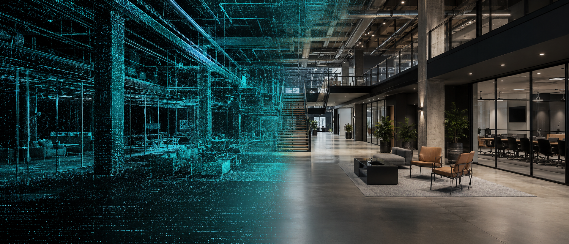
X 34.8521
Y −82.3940
Z 286.42
Y −82.3940
Z 286.42
Where projects lose certainty
The field should not become a late-stage surprise.
Unknown tie-in locations and elevations
Structural geometry that differs from record documents
Design routes that cannot be installed as drawn
48%of U.S. construction rework was attributed to poor project data and miscommunication in the Autodesk/FMI study.
Precision capture gives your team a verified picture of the conditions that design, coordination, fabrication, and installation must fit. Finding a conflict in the model is planning; finding it after material arrives is rework.
Review the research ↗What changes
Decisions move faster when the field is already at your desk.
- ✓Verify routes and clearances early
- ✓Coordinate penetrations and equipment access
- ✓Reduce clash-driven field changes
- ✓Measure difficult or unsafe locations remotely
Purpose-built outputs
Exactly the information your team can use.
There is no one-size-fits-all scan package. We establish the decisions, accuracy, coverage, coordinates, detail, and file requirements first, then create the leanest useful deliverable and support it after handoff.
MEP and structural point clouds
High-density spatial records for direct measurement and reference.
Coordination models
Relevant systems and structural elements modeled for design and clash review.
Tie-in documentation
Verified locations, elevations, and surrounding constraints.
Sections and clearance studies
Focused views through congested or critical areas.
Engineering background geometry
Clean CAD/BIM-ready references aligned to the project coordinate strategy.
Strong project fit
Where this creates immediate value.
Mechanical roomsIndustrial facilitiesPlant renovationsStructural retrofitsUtility coordinationEquipment replacement
With you at every step
Technology with a human handoff.
Identify systems, tie-ins, tolerances, and inaccessible areas.
Coordinate a safe capture plan around active operations.
Process the data around engineering, not presentation, needs.
Support design reviews and answer spatial questions throughout coordination.
10%OFF YOUR
FIRST PROJECT
FIRST PROJECT
Let’s capture what matters.
Bring us the project, even if you’re not sure what to ask for yet. We work nationwide.
Start Your Capture Plan →