We define the decisions that matter, plan coverage, and scan the relevant conditions.
How it helps
Turn existing conditions into project answers.
A scan is the starting point. The useful result is a dependable record your team can measure, review, draw from, model from, and coordinate against throughout the project.
Start Your Capture Plan →The process
From the field to a buildable answer.
We register, clean, and translate the data into the files your team actually needs.
Your team uses verified geometry to design, coordinate, fabricate, install, or document the work.
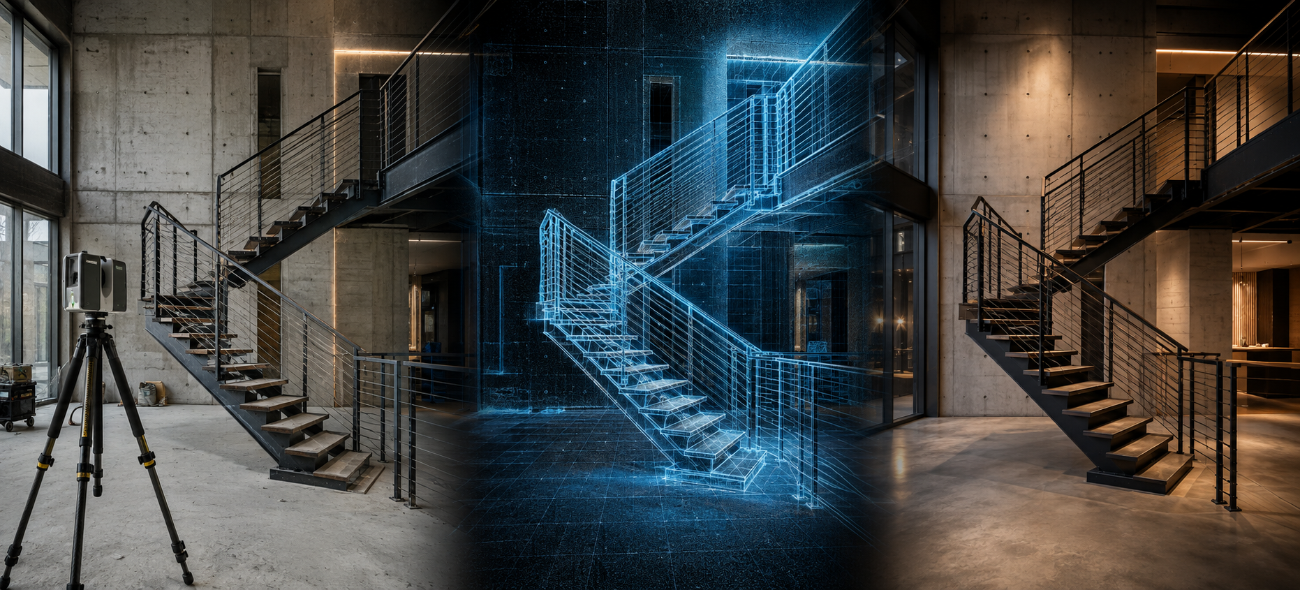
01 Field scan02 Project model03 Final result
Services and outputs
More than a scan. A usable result.
Tell us the problem your team needs to solve. We will help define the leanest useful deliverable.
Terrestrial 3D laser scanning
Capture complex interiors, exteriors, structures, and equipment without relying on scattered hand measurements.
Registered point clouds
Give your team a coordinated, measurable digital record they can revisit from the office.
Scan-to-CAD and BIM
Develop purpose-built geometry for design, coordination, fabrication, and documentation.
As-built drawings
Replace outdated backgrounds with measured plans, elevations, sections, and installation views.
Design and coordination support
Check tie-ins, routes, access, and clearances before material reaches the field.
Progress and verification
Preserve installed and concealed work for coordination, closeout, and future projects.
The cost of uncertainty
$177.5B
lost to non-optimal activity in U.S. construction.
48%of rework
Bad information becomes expensive field work.
Autodesk and FMI research linked poor project data and miscommunication to 48% of U.S. construction rework. Reality capture cannot prevent every mistake, but it gives teams verified conditions to coordinate against before fabrication or installation.
Why Precision Reality Capture
The scan is only useful if it helps the project move.
Outcome-based scoping
We start with the decision, fit-up, drawing, or record you need, not a default scan package.
Usable deliverables
Files are prepared around your people, software, coordinates, and required level of detail.
Support through installation
We remain available when a dimension needs explaining, a view needs creating, or a condition needs checking.
Workflow-specific capture
Architects, trades, engineers, contractors, and owners need different information from the same space.
High-accuracy terrestrial capture
Professional scanning records dense existing-condition geometry for demanding project use.
Nationwide service
Based in Greenville, South Carolina and available for projects throughout the United States.
Replace assumptions with a measurable record.
Share the location, the decision your team needs to make, and the files you already use.
Start Your Capture Plan →