Scope the decision.
We define the visible features, access, critical measurements, and outputs that matter to your team.
 Call or text 864-372-9585
About Precision Reality Capture
PRC is based in Greenville, South Carolina. Our work brings terrestrial laser scanning, drawing development, and 3D modeling into the decisions construction and design teams make every day.
A documentation perspective shapes the questions we ask: What needs measuring? Which conditions affect the design? What information will your team need next?
See our project evidence ↗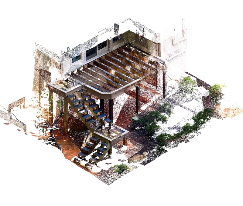
How we work
We define the visible features, access, critical measurements, and outputs that matter to your team.
Point clouds, drawings, and models are shaped around the intended use, coordinate basis, file formats, and level of detail.
We review what is included, what could not be captured, and how the deliverables can support the next stage.
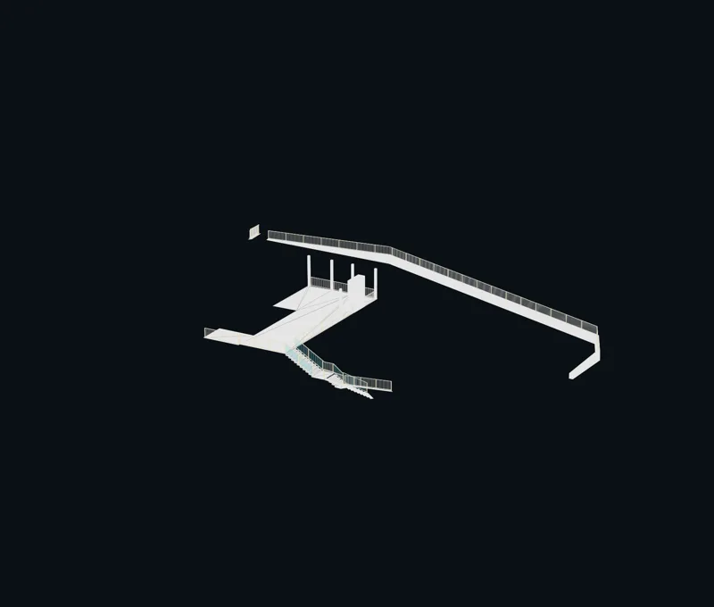
Information that follows the work
Connection points, clearances, and spatial relationships shape the information we develop. The goal is a record that your detailer, designer, or coordinator can interpret without guessing what was measured.
Capture for detailers and trades ↗Local focus. Broader reach.
Regional and continental US work is planned around access, mobilization, travel, and the needs of the project.
Explore our service area ↗