Incomplete or outdated record drawings
 Call or text 864-372-9585
Verified conditions for construction teams
3D scanning for
General Contractors.
Know the site before the site costs you.
Bring dependable existing conditions into preconstruction, coordination, scheduling, and closeout, without sending crews back to remeasure.
Start Your Capture Plan →Get in touch: Call or text 864-372-9585
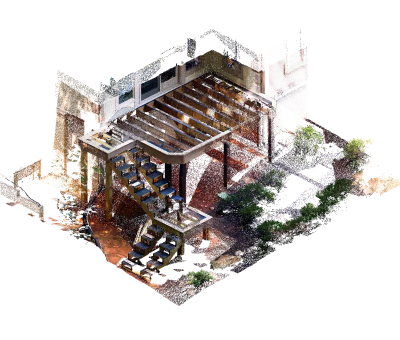
REAL PROJECT DATA
Deck & stair conditions
Deck & stair conditions
Where projects lose certainty
The field should not become a late-stage surprise.
Unexpected field conflicts after mobilization
Repeated site visits for missed dimensions
Trade partners working from different information
48%of U.S. construction rework was attributed to poor project data and miscommunication in the 2018 PlanGrid/FMI study.
Precision capture gives your team a verified picture of the conditions that design and coordination depend on. Finding a conflict in the model is planning; finding it after material arrives is rework.
Review the research ↗What changes
Decisions move faster when the field is already at your desk.
- ✓Coordinate around verified geometry
- ✓Reduce RFIs, change orders, and rework
- ✓Document progress and concealed conditions
- ✓Give office and field teams the same source of truth
Purpose-built outputs
Exactly the information your team can use.
There is no one-size-fits-all scan package. We establish the decisions, accuracy, coverage, coordinates, detail, and file requirements first, then create the leanest useful deliverable and support it after handoff.
Preconstruction point clouds
A measurable 3D record of the structure, envelope, access, and constraints.
Existing-condition models
Clean project geometry for planning, logistics, estimating, and coordination.
Progress documentation
Repeatable captures that preserve existing conditions at each project stage.
2D site documentation
Plans, elevations, sections, and annotated views built from scan data.
Field coordination support
Clear answers when a dimension, elevation, or conflict needs verification.
A closer look at scan data
See the framing in context.
Wall lines, braces and openings can be revisited together, giving coordination conversations a visible reference.
Interactive scan illustration · Exposed framing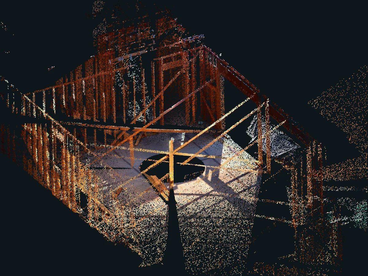
Strong project fit
Where this creates immediate value.
Renovations and additionsTenant upfitsComplex existing buildingsStructural modificationsCloseout and as-built recordsDesign coordination
With you at every step
Technology with a human handoff.
Define the coordination questions and required accuracy.
Capture the relevant work areas with minimal disruption.
Register, clean, and verify the dataset.
Deliver usable models and drawings, and stay available through construction.
Let’s capture what matters.
Bring us the project, even if you’re not sure what to ask for yet. We work nationwide.
Start Your Capture Plan →Get in touch: Call or text 864-372-9585